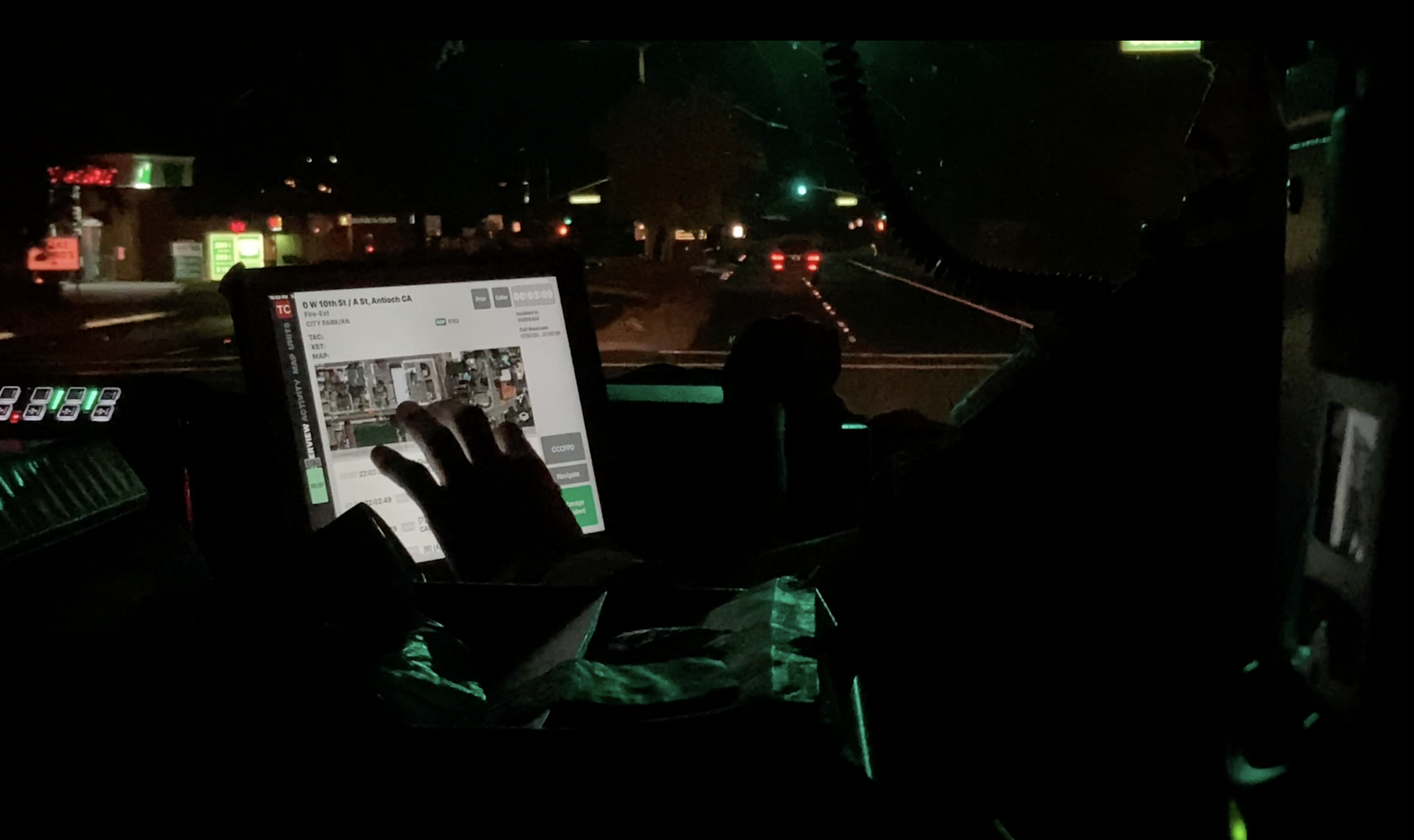
Clear communication has always been the backbone of effective emergency response. But as the pace and complexity of incidents increase, so does the demand for tools that can keep up. From rapidly shifting conditions to multi-agency coordination, today’s responders are turning to digital platforms to bring clarity, speed, and shared situational awareness to the field.
Tablet Command
Recent Posts
7 Ways Digital Tools Are Elevating Emergency Scene Communication
Topics: Fire ground accountability, best practices
Why iOS Is Trusted in Public Safety: Security Without the Complexity
Public safety agencies operate in complex environments where split-second decisions and sensitive information go hand in hand. Whether responding to structure fires, large-scale incidents, or daily emergencies, the tools responders use must be fast, reliable, and secure.
Topics: Apple, iOS, technology
iPads on the Fireground: What Makes Them the Right Tool?
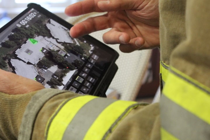
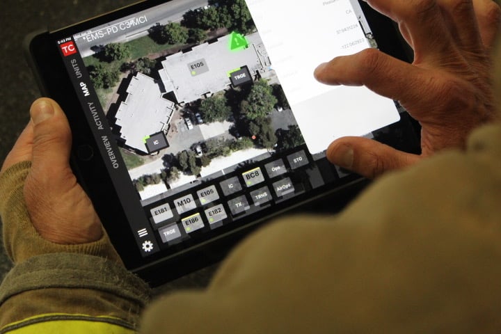
Technology in the fire service is no longer a luxury-it’s a necessity. From mapping to incident command to personnel accountability, more agencies are turning to mobile devices as essential tools on the fireground. But not all devices are created equal.
Topics: Apple, iPad, security, fire ground
A long-standing presence and recent infrastructure upgrades make Tablet Command Canada easily accessible for fire chiefs.
North Collier Fire Department - Unified Solution for All Hazards
The North Collier Fire Department (NCFD) in Florida developed a mutually beneficial emergency response system. Using Tablet Command, leadership tailored their solution to meet the needs of their unique region, including:
- A nimble solution with real-time data and tracking capabilities
- Streamlined interdepartmental communication
- Seamless functioning to resolve unanticipated challenges unprecedented scenarios
From brush fires to hurricanes, North Collier needed an incident response and management solutions capable of uniting regional agencies to respond to any hazard.
Tablet Command and Genasys Partner on Real-Time Evacuation Insights for Fire Agencies Nationwide
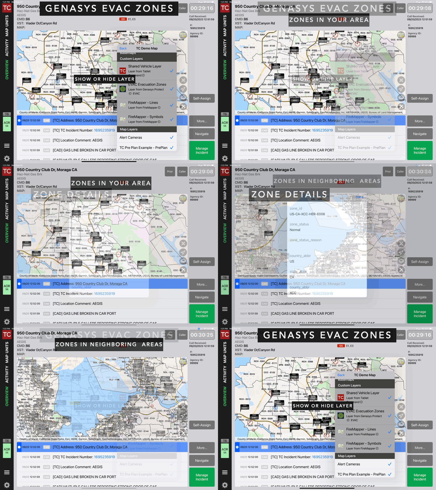
Tablet Command is excited to announce its partnership with Genasys (formerly known as Zonehaven), the global leader in protective communications solutions and systems. This collaboration marks the first time all agencies using Tablet Command and TC Mobile will have real-time access to evacuation zones via Genasys Protect EVAC. The evacuation layer provides first responders with zone-specific data and insights to enhance interagency situational awareness and communication during fire-related incidents.
You can read the full press release here.
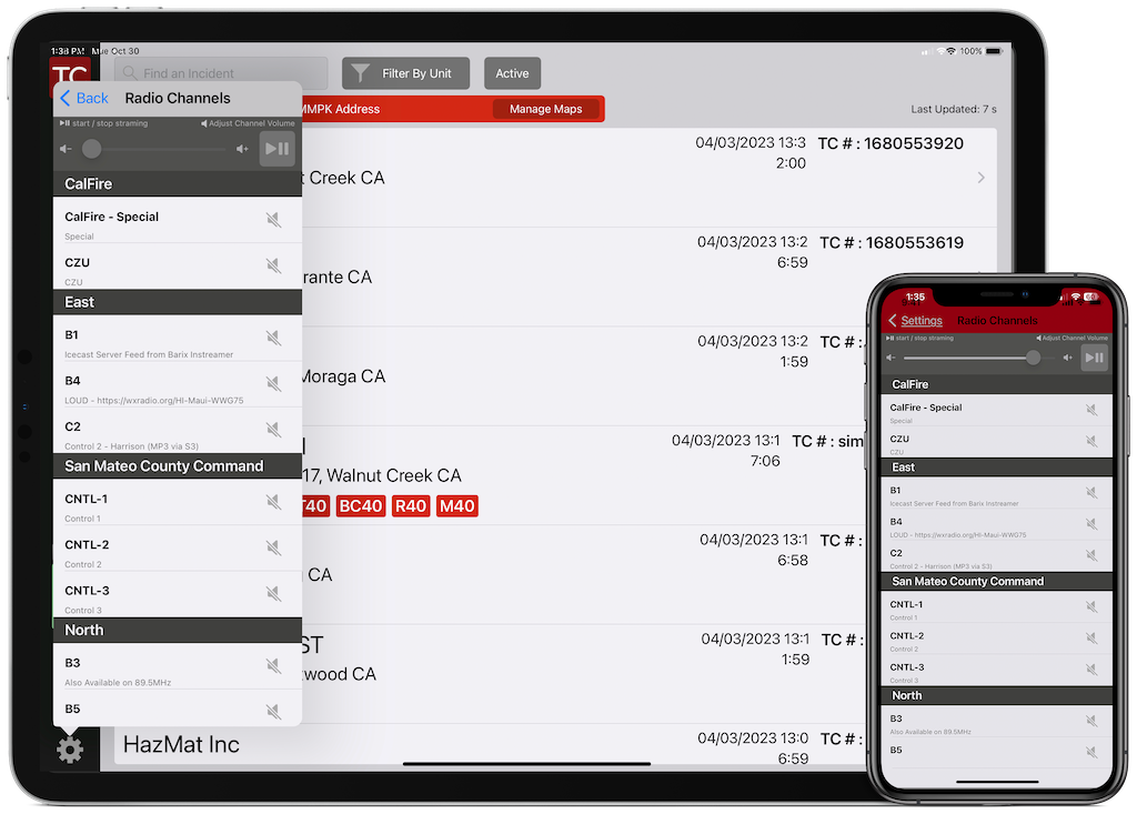
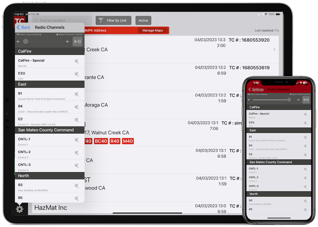
Earlier in 2023, Tablet Command added support for In AppAudio. The features allows users to access multiple audio streams and maintain situational awareness, even while away from the radio.
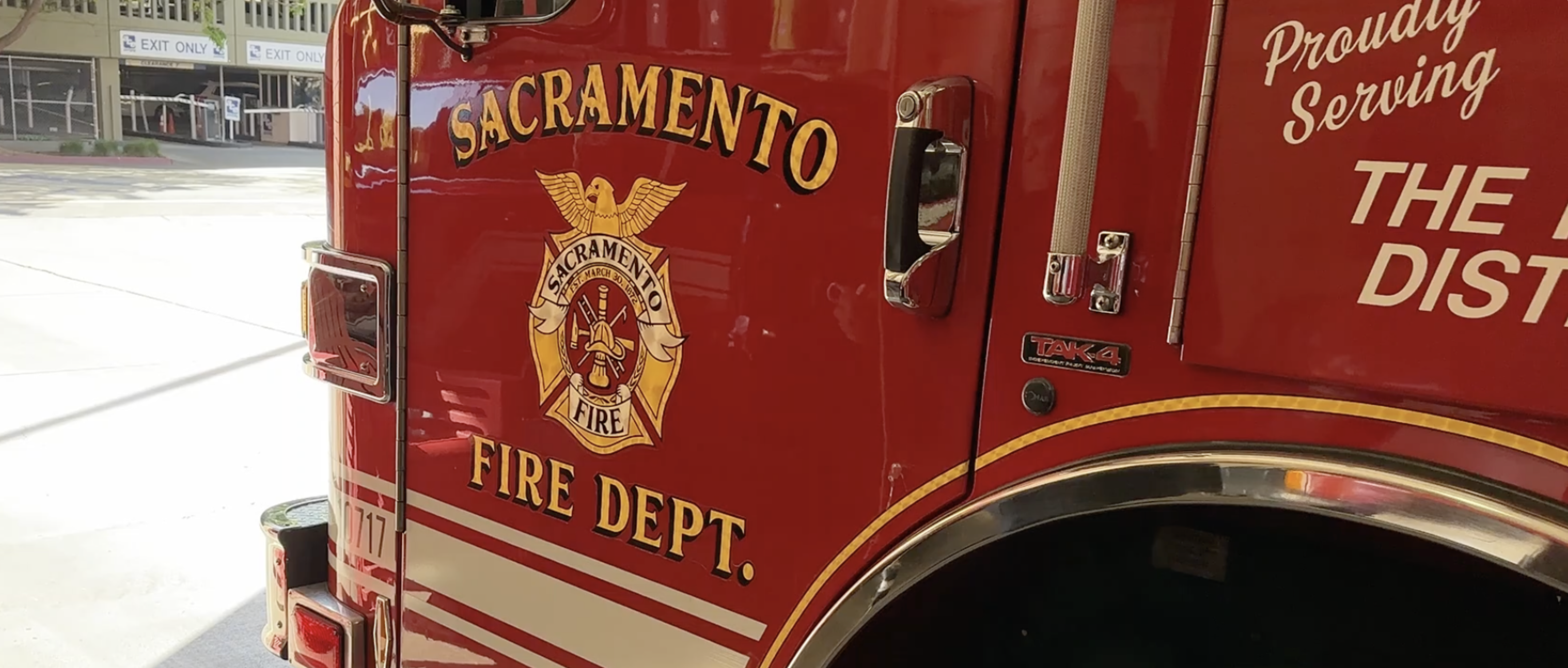
City of Sacramento, CA Fire Department Improves Visibility and Resource Management
- Interoperability between the department and surrounding organizations
- Tracking and visibility of all assets and personnel
- Access to real-time information
From wildfires to the regional high-rise drill, this department faces challenges that demand more than whiteboards and paper.
On March 21 Tablet Command released version 3.5 of our Tablet Command and TC Mobile applications for iOS with support for in-app audio. When enabled and configured for an account, multiple audio streams can be quickly played for additional situational awareness when users are away from the radio.
Topics: Tablet Command, TC Mobile, In-App Audio
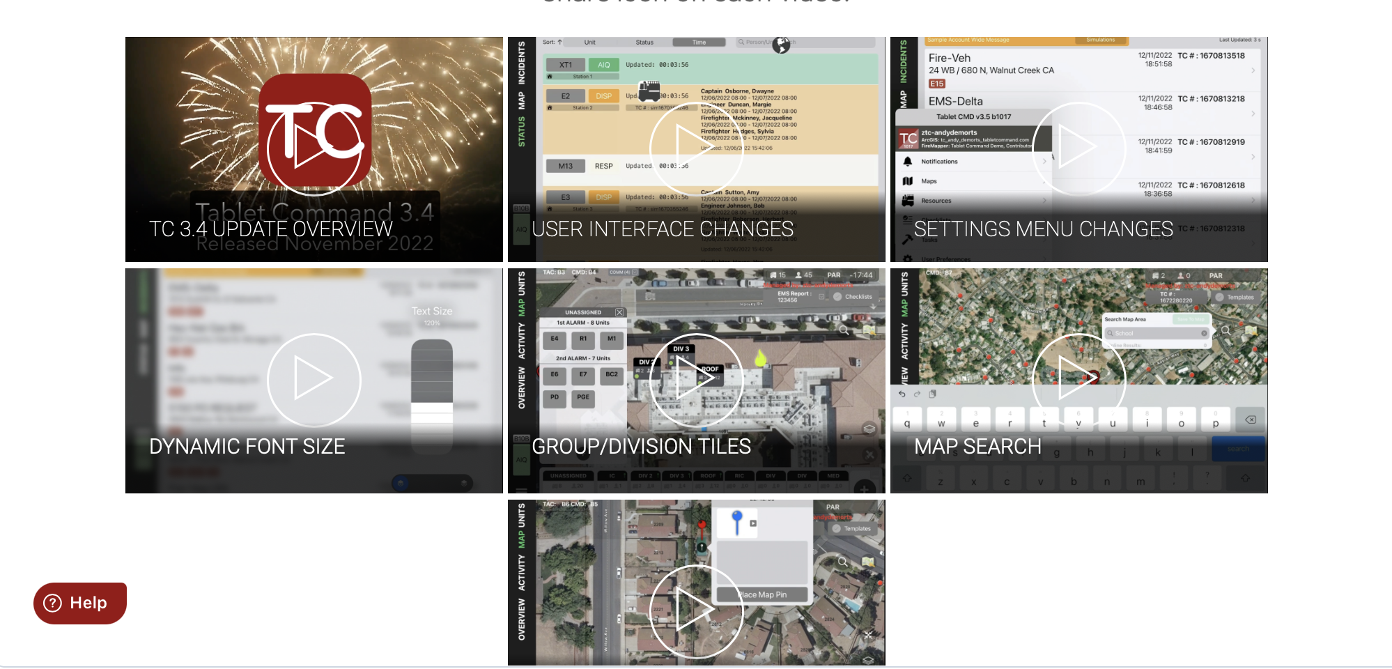
With version 3.4 of Tablet Command we released a series of new features and user interface changes to make the app easier to use, more intuitive and flexible. In the 3.4 release notes we detailed some of these features. We also felt it would be helpful to create a series of short videos to further explain the features and show how to take advantage of them.
.jpg)
