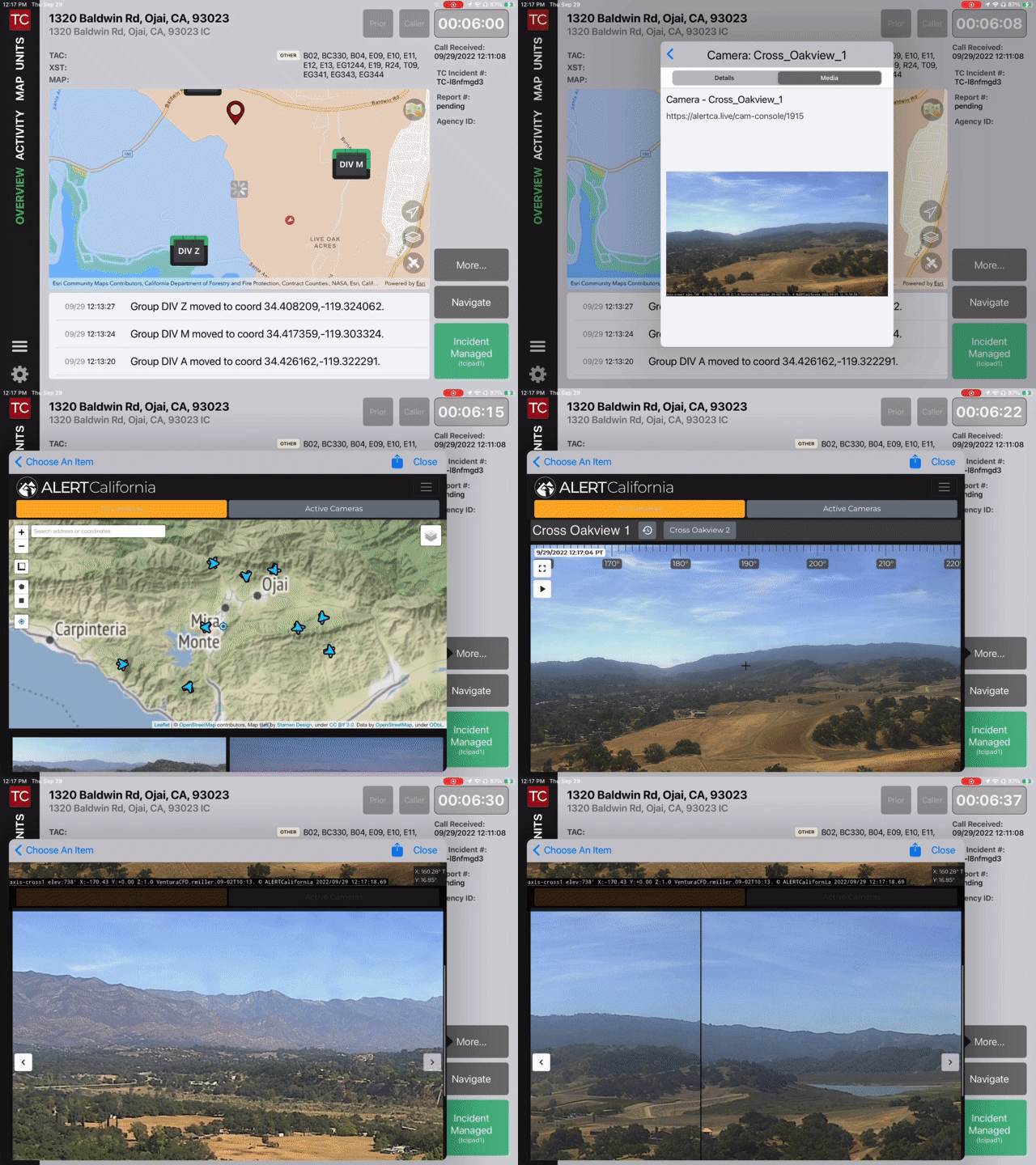
Late last week most of the AlertWildfire Cameras were no longer available from the AlertWildfire Web site and therefore from the authoritative CalOES California Webcams map layer, which many of Tablet Command customers use routinely to access live camera feeds. Many of the camera feeds are now available on the Alert California site, but there is not a map layer available to replace the CalOES layer. Several customers reached out with concerns about not having access to this important situational awareness tool at a critical time during the California Wildland season.
Record Breaking Wildfires
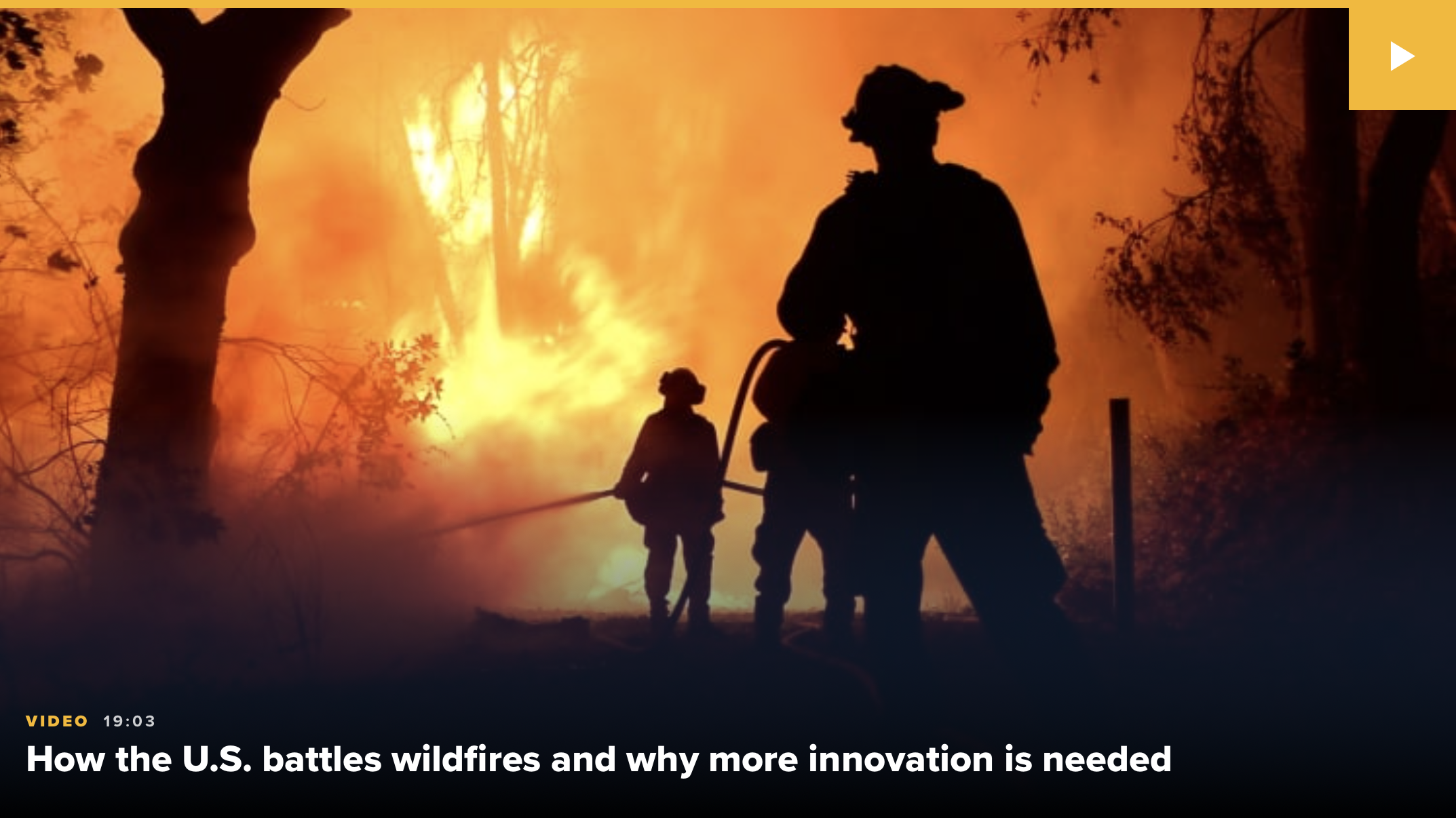
In recent years, record-breaking wildfires in the western United States have posed a complex set of new challenges to incident managers. Not only have these fires been the largest in history but they have also created an enormous cost for states like Washington, Oregon, California and Arizona. Many factors suggest that these fires are only growing larger and occuring at an unrelenting frequency; in fact, every year has been hotter, and each successive fire season has gotten bigger and lasted longer than the last. Experts widely agree that we’ve entered into an era of apocalyptic “Mega Fires”.
While the North American wildland fire season has wound down with the arrival of winter, our attention turns to Australia where fires are devastating the entire country. Let's look back at how North American Tablet Command customers used mapping, location, and incident management tools to enhance operational efficiency and responder safety while gaining an advantage during the 2019 Fire Season.
Topics: forest fire, wildland, TC Mobile, incident management, GIS
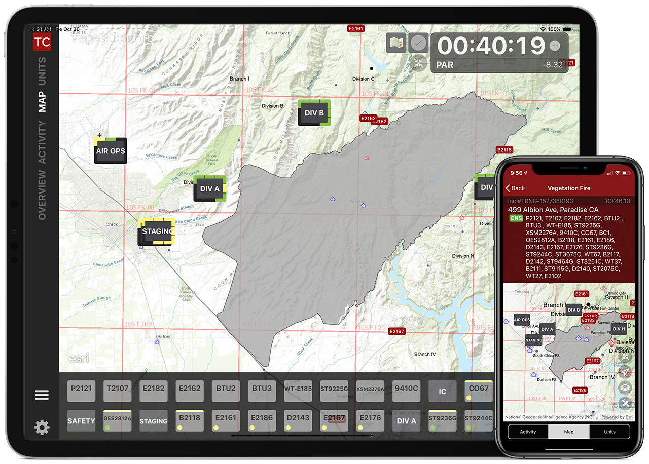
The 2019 wildland season is upon us, and whether you are a firefighter or a chief officer, the mapping features in Tablet Command (iPad) and TC Mobile (iOS/Android) can enhance your situational awareness, safety, and effectiveness while responding to wildland fires.
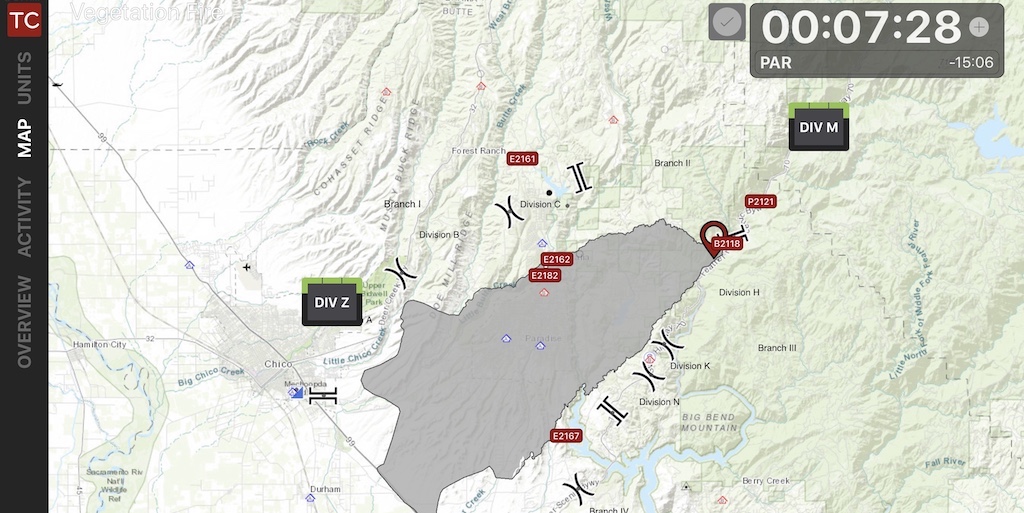
As crews are dispatched, they can immediately view an incident in Tablet Command with a variety of base maps and map layers in the “Overview” screen or by tapping the “Map” tab within an incident on their iPad or Smartphone. In these views responders can see the fire ground from an overhead perspective, providing head start on “LCES” (Lookouts, Communications, Escape Routes, Safety Zones) and insight into situational and resource status.
Topics: Accountability, maps, wildland, incident response, GIS, USNG
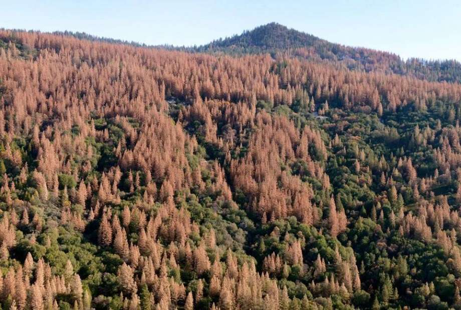
Topics: beetle kill, mega fire, Blog, climate change, forest fire, ICS, standing dead, wildland
