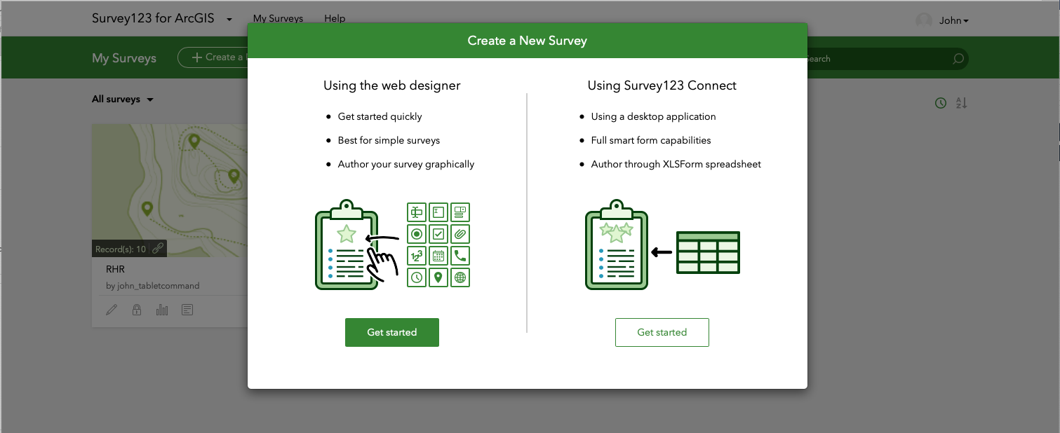
Agencies can combine the power of Tablet Command, ESRI’s Survey 123 and ArcGIS Online to quickly collect and display geospatial data. These powerful collaborative tools can be used for a wide variety of situations including damage assessments, marking hazardous occupancies, and identifying safe zones and lookouts during wildland pre-incident planning.
While the North American wildland fire season has wound down with the arrival of winter, our attention turns to Australia where fires are devastating the entire country. Let's look back at how North American Tablet Command customers used mapping, location, and incident management tools to enhance operational efficiency and responder safety while gaining an advantage during the 2019 Fire Season.
Topics: forest fire, wildland, TC Mobile, incident management, GIS
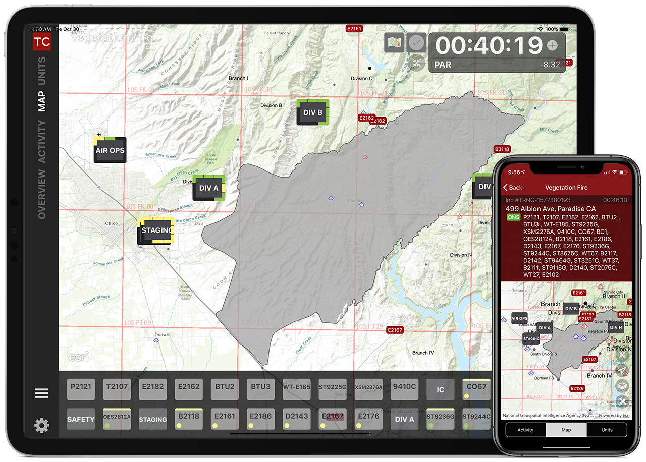
The 2019 wildland season is upon us, and whether you are a firefighter or a chief officer, the mapping features in Tablet Command (iPad) and TC Mobile (iOS/Android) can enhance your situational awareness, safety, and effectiveness while responding to wildland fires.
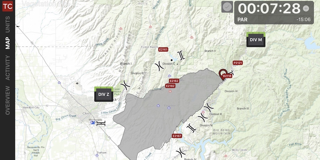
As crews are dispatched, they can immediately view an incident in Tablet Command with a variety of base maps and map layers in the “Overview” screen or by tapping the “Map” tab within an incident on their iPad or Smartphone. In these views responders can see the fire ground from an overhead perspective, providing head start on “LCES” (Lookouts, Communications, Escape Routes, Safety Zones) and insight into situational and resource status.
Topics: Accountability, maps, wildland, incident response, GIS, USNG


